Introduction to Xining and Qinghai Province
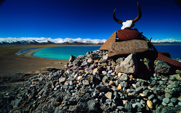
Most people have never heard of Qinghai Province. Located on the northeastern corner of the Tibetan Plateau and with a total population of only 5.6 million people, Qinghai is a wide open, high altitude land of nomads and snow leopards, Tibetan cowboys and wild yaks. Qinghai also holds a wide array of Tibetan Buddhist monasteries and Islamic mosques to dazzle the eye. Despite its relatively small population, this is a massive land area with 722,000 square kilometers in total area, making it bigger than the individual countries of France, Afghanistan, Thailand, or the whole of the United Kingdom.
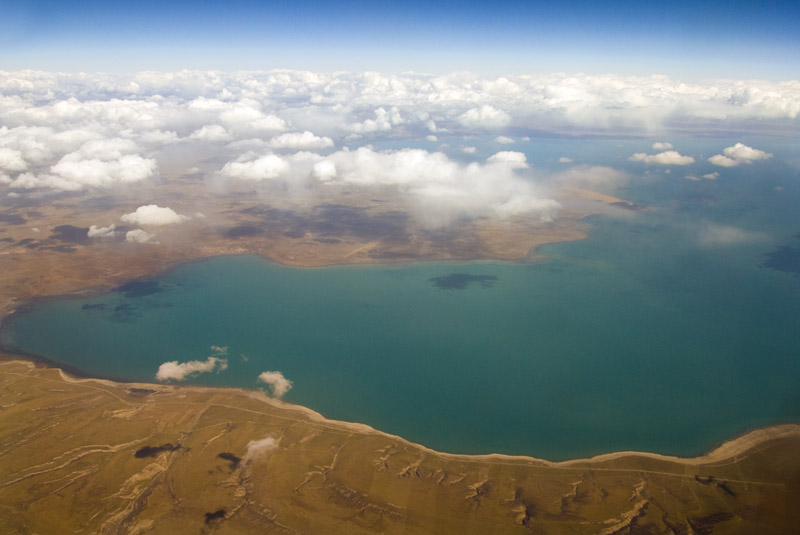
Qinghai Province is the source of China’s two largest rivers, the Yangtze River and the Yellow River. This unique Montana-like Plateau offers towering mountains, red rock canyons, and is full of meandering rivers and alpine lakes.
This is definitely the place to get off the map and experience adventure travel at its finest!
Contact us if you are interested in getting off the beaten track and see more of wild Qinghai.
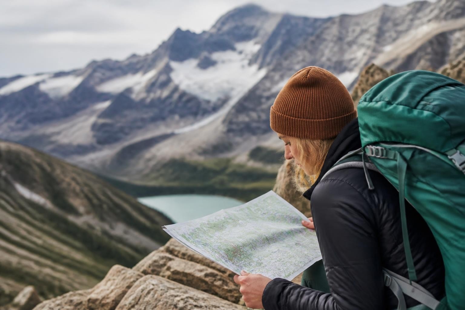
Xining 西宁 is the capital of Qinghai Province in western China and when most people visit they comment on how clean the air is and how little pollution there is compared to the big megacities of eastern China. With over 300 days of glorious high altitude sunshine in every year, Xining is called the “Summer Capital” or 夏都 of China. With bitterly cold winters and perfect spring-like summers, Qinghai Province is open for exploration in the summer and this gives a great window into getting out of the city for some marvelous one day hikes.
Below are our 5 favorite day hikes near Xining.
Here are the top 5 day hikes near Xining:
1.) Kanbula National Park
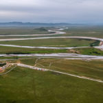
Located about a 3 hour drive from the Xining, the capital of Qinghai Province, Kanbula National Park (or as it is called in Chinese “Kanbula National Forest Park”) is a wonderland of soaring red rock cliffs located right on the banks of the emerald green Yellow River. These cliffs are some of the best day hikes near Xining because they resemble some of the red rock formations in Utah, including Arches National Park and Moab. If you are driving the 2.5 hours south to Tongren 同仁 to see Rebkong Longwu Monastery, this makes an excellent side trip. In fact, you can see one of our favorite, best selling itineraries that combines Kanbula National Park and Rebkong Longwu Monastery HERE.
Kanbula National Park has two entrance gates, the north gate at Jianca and the south gate near Guide. You can enter at either of these gates and there is essentially one main road through the park that winds between both these gates. The road is paved and the distance between the two gates is really only about 90km but the drive between the south and the north gate usually takes about 3 hours. And that does not include time to stop and hike.
Most tourists to Kanbula National Park will need to take the public park bus into the park and will need to pay a hefty 250 RMB ticket entrance fee. That is pretty expensive considering other entrance fees in Qinghai, but we think the grand canyons and soaring formations are well worth the price. The 250 RMB/person entrance fee includes an all day ride on the park bus. And the park bus stops at 5-6 different stops. You can get off at any stop and hike for as long as you want and jump on the next available bus that comes along at the stop.
Most of these stops access excellent views over the Yellow River and the red rock cliffs of the park. Most of these stops also are the trailheads for the hikes that wind down, in, and through the red rock formations that the park is famous for. Given the recent development of the park and the steep entrance fee, most of the hiking here consists of wooden steps that lead into scenic areas, mountain top views, and even an enormous 60 meter tall Buddha statue that is still under construction.
The various sets of steps last anywhere from 15 minutes to 3 hours per hike depending which hikes you do and how far you want to walk from the bus stops. You could easily spend 4-6 hours just hiking the various board walks in the park, so make sure you allow yourself a full day in the park to really give yourself enough time to enjoy this natural wonder. Many of the hikes inside the park interconnect to the other spots, so you may find that you are able to start at one hike and walk for 1-2 hours and end up at another bus stop in the park.
Because the park is so big, we recommend staying the night in Guide 贵德 at the south entrance of the park the night before and after you enter the park just to give yourself more time in the park. Of course, the park can be accessed to and from Xining in one day, but you will spend at least 5-6 hours just getting to and from the park in a car, so you will need to plan your time well and depart Xining early in the morning.
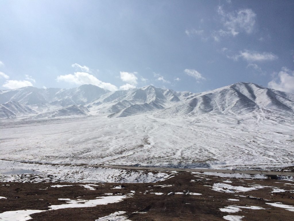
2.) Laji Shan
One of our most favorite local day hikes near Xining is Laji Shan (or Laji Mountain). Although the mountain does have the same pinyin spelling as the Chinese word for “trash” (垃圾)the actual characters are different and represent a transliteration of the sounds of the local Tibetan name for this place. This mountain, as one of the most rugged, pristine, open mountains in northeastern Qinghai is anything from trashy and has not been spoiled by either tourism or litter.
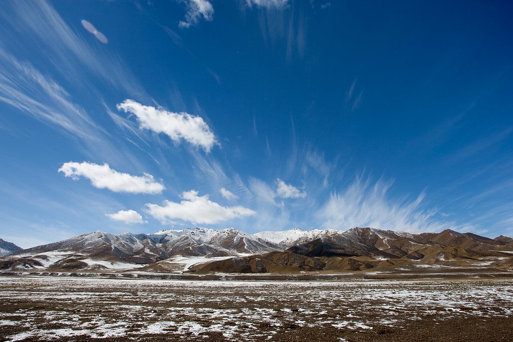
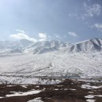
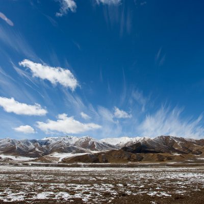
The actual Laji Mountain is a 14,000 foot (4,260 m) mountain that is mostly a nice walk up on foot but the last few hundred vertical meters involves quite a bit of loose scree and some tricky sections that might involve good balance a top some precipitous rocks. You certainly don’t need any ropes or special equipment to climb this, but I wouldn’t recommend climbing to the summit if you were a beginner hiker. You would have to be a pretty experienced, confident trekker to make your way to the top of this granite beast.
The mountain we actually hike (and what we are referring to as “Laji Shan”) and generally take groups to for a one day team building activity is off the shoulder of this larger parent mountain. This sub-mountain is more of a dominant ridge that is covered in grassy slopes and the occasional rocky outcropping. But even though the mountain we hike with most of our groups is not quite as advanced or technical as the actual Laji Shan, it is still an excellent challenge and the hike passes several imposing red rock cliffs that are each represent about 50 meters of vertical relief. In fact, if the red sandstone here was not so loose, these cliffs would make for excellent rock climbing.
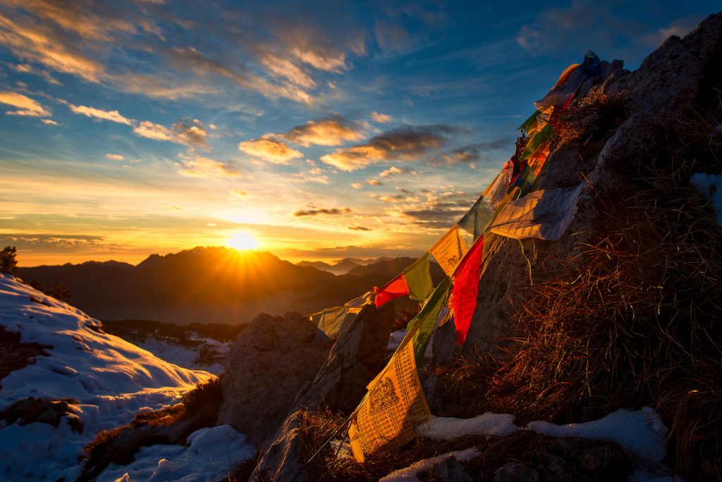
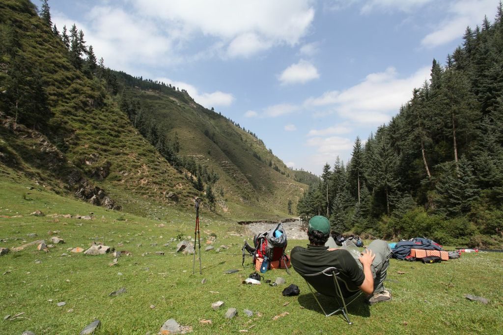
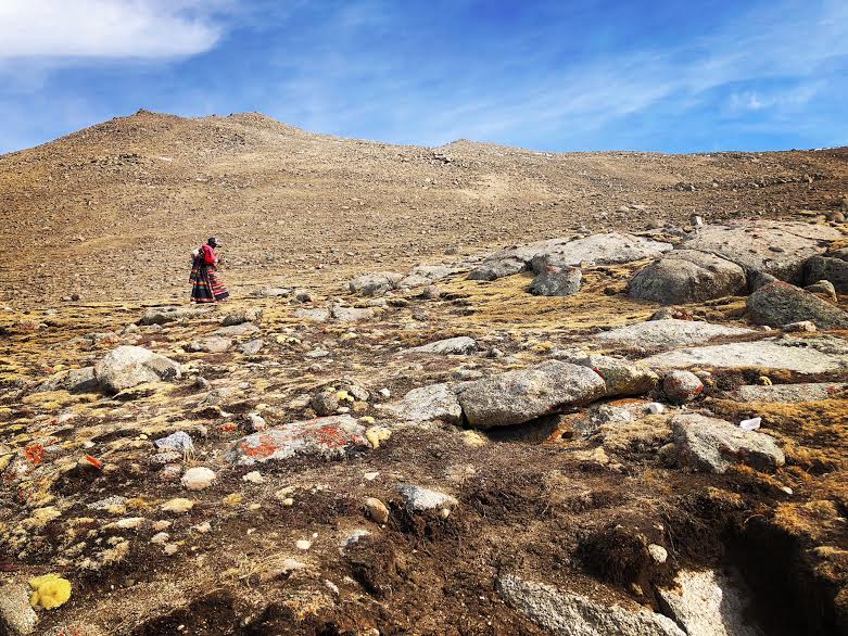
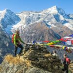
Laji Shan makes for a great destination, whether you want just to picnic in the grasslands with your family at the bottom of the mountain or challenge yourself and make it to the top for an excellent view of prayer flags and granite peaks. The actual hike to the ridgeline summit takes about 2.5 hours up and 1 hour down for a person of average fitness. The hiking here is not too terribly difficult but the the altitude will definitely leave you short of breath. Make sure you take your time as you ascend and take lots of breaks and drink lots of water. As the hike is 100% exposed above tree line, there are no trees here for shade or shelter so make sure you have lots of sunscreen for the intense high altitude sun. If on the rare occasion, there is a chance of lightning danger, please be safe and do not summit the ridge as you will be the highest thing for miles with no place to escape a lightning strike.
The hike starts out in a river valley at 11,810 feet (3,600 meters) that flows between two spectacular red rock cliffs. You walk in the valley between the cliffs and then continue to make your way through this corridor right behind the cliffs to the high grassy ridgeline at 13,123 feet (4,000 meters). To hike this ridge you start at the trailhead and, on a clear day, just look up at the highest peak and walk in that direction towards the top. As with most hikes on the Tibetan Plateau, the landscape is vast and open and there is no real hiking trail here; you are just following the livestock trails of sheep and yaks that make their daily commute up the mountain as they search for “greener pastures”. About half way up the hike (about 45 minutes from the trailhead) there is a terrific little green saddle tucked behind one of the red rock formations. This makes a great place to set out a tent and has an incredible view at sunrise overlooking the red rock cliff tops across the valley to the actual 14,000 foot Laji Mountain peak. So you could also camp up here for a night and on our 4 night/ 5 day Red Rocks and Monasteries trip we actually do camp on top of this beautiful spot.
To see a testimony from one of our recent clients on the Red Rocks and Monasteries trip, in partnership with the Hutong, see here.
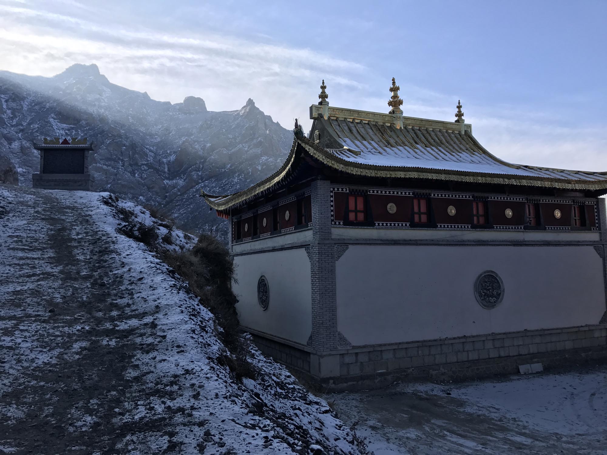
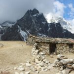
3.) Shachung Monastery
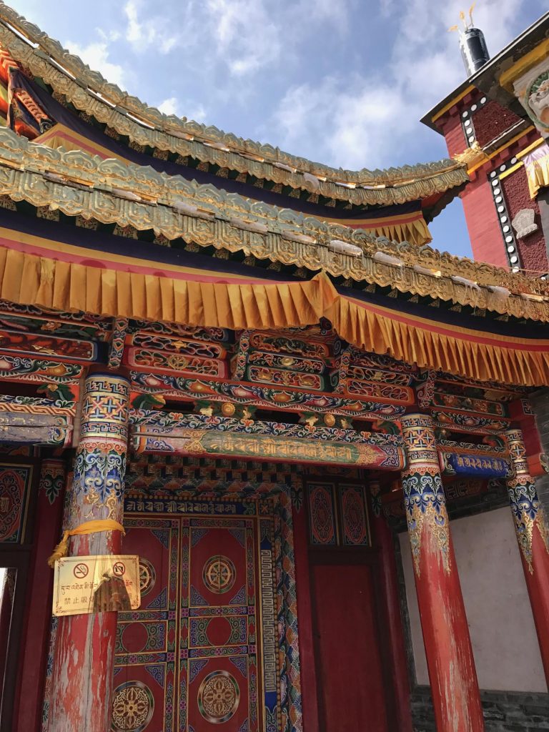
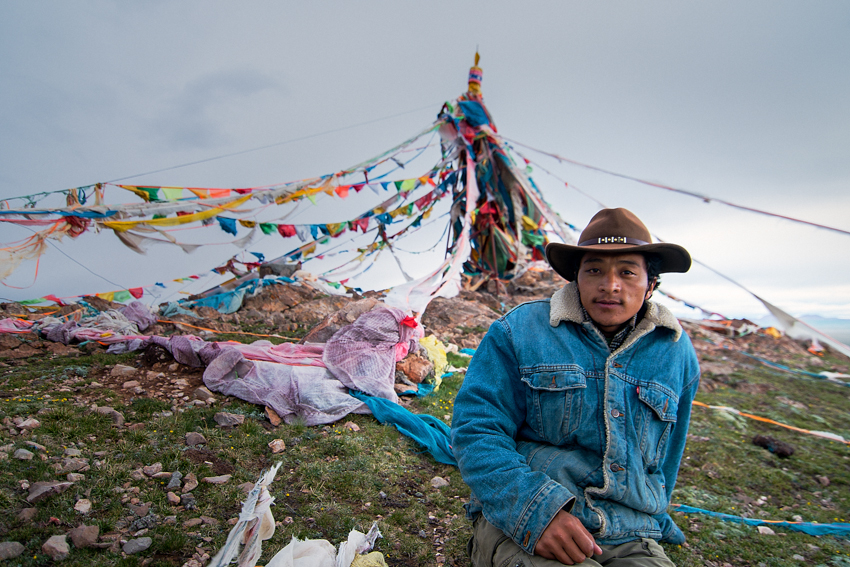
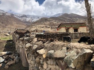
Drive 2 hours from Xining near the town of Hualong to Shachung Monastery, tucked on a high mountain ridge with direct views overlooking the emerald waters of the Yellow River. Take a stroll through the peaceful courtyards and temples of this monastery as you watch monks light yak butter candles then hike for 1 hour each way to a mountain top decorated with Lobtse and prayer flags for a 360 degree view of red rocks, snowy mountains, and traditional mud-daubed Tibetan villages.
Depart Xining city in the morning and drive 2 hours into the Tibetan countryside to access this unique monastery and day hike near Xining. The last 8 km of the drive takes you on a dirt road that sits high up on a mountain ridge with spectacular views of the snowy mountains around the monastery. As you arrive at Shachung Monastery, you can walk around a sacred kora and spin prayer wheels and then circle a 5-story tall statue of Tsongkapa, the founder of the Gelugpa (or Yellow Hat) sect of Tibetan Buddhism. Tsongkapa studied here as a young monk and then went on to totally reform the corruption and abuse within the old monastic system.
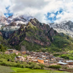
After viewing the giant statue of Tsongkapa, you can then spend about 2 hours in the monastery complex itself, enjoying the intricate art within the temples. After delving into the monastery culture, you can continue from the back side of the monastery up a ridge to get a spectacular view of the 5,000 meter mountains around you. From there you can hike back through time to see a simple Tibetan village with mud homes and terraced farms at 2,700 meters. After that, make your final ascent up another 100 meters to a mountain lookout with prayer flags and Lobtse – a bundle of large 6 meter-long wooden arrows driven into the ground that collectively represent an end to violence. Eat a picnic lunch on the mountain top and walk 1 hour back to the monastery. After a full day of adventure you can drive 2 hours back to Xining and arrive there by late afternoon.
NOTE: For those more interested in the hiking aspect, the traveler can emphasize this as the major portion of the day. The same is true for those wanting to spend more time in the monastery complex.